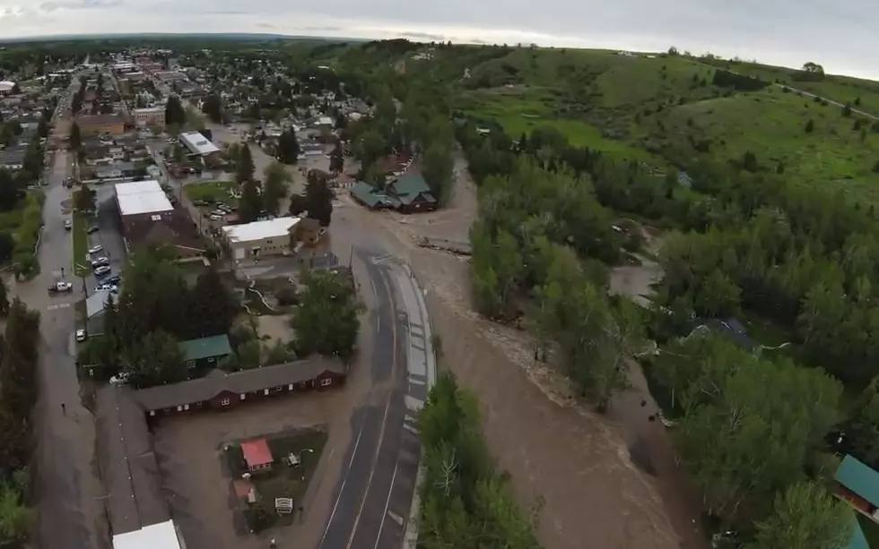
Record Snowfall Could Lead to Record Stream Flows and Flooding
After warnings from local officials early this week concerning flooding potential in the Missoula area this spring, National Resources Conservation Service Water Supply Specialist Lucas Zukiewicz warns that stream flows may hit record levels.
"February was an excellent month for snowfall, record setting for a lot of locations, especially on the upper Clark Fork kind of above Missoula there we have snow pack today which is well above normal, and we have stream flow forecasts issued this morning which reflect the snow pack levels: we're looking at a lot of water coming down the rivers this year," Zukiewicz said.
It’s something he rarely says, but Zukiewicz is now saying that a bunch more snow, “could be a problem”
"It's something to keep an eye on. We look at when we normally see peak snow pack and that's generally in mid-April and we're already there by the end of February," Zukiewicz said. "If we keep building we could start to go into record territory, and we're already in record territory sometimes, and when you set records you don't always know what to expect."
The next two months are a critical time for get stream flows…At this point Zukiewicz is hoping for a goldilocks scenario where we get a “normal” amount of snowfall rather than too little or too much.
More From KBUL NEWS TALK 970 AM & 103.3 FM