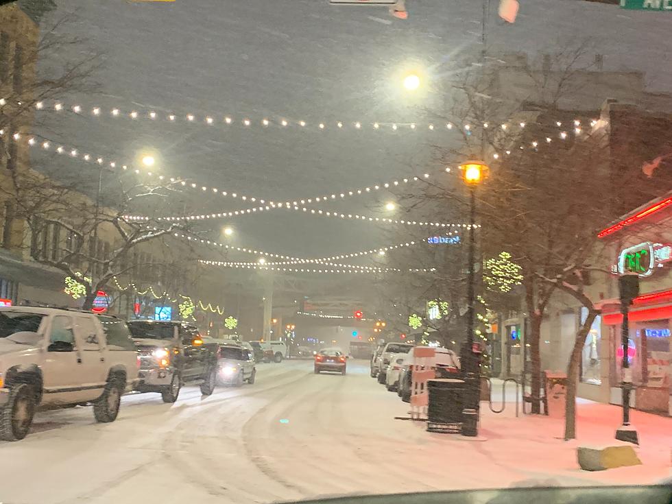
Winter Storm Watch, Possible Warning for Billings
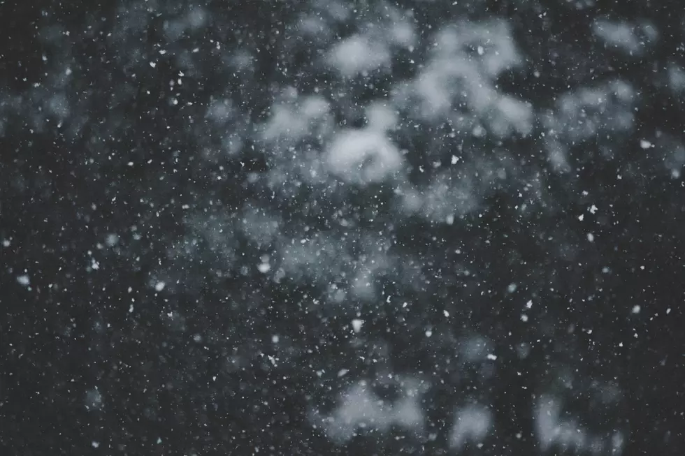
According to the National Weather Service in Billings, projected forecasts as of Wednesday night showed the possibility of more than 14 inches of snow from a weather system expected to settle over Billings beginning today. NWS meteorologist Julie Arthur said [quote] “Some people are saying a foot to a foot-and-a-half,” [end quote].
Wednesday night’s snowfall was the result of a separate, smaller disturbance moving through the Billings area, Arthur said, but the approaching weather system, made up of Pacific moisture mixing with cold air from a Canadian cold front, is expected to produce most of its snow over central and south central Montana from tonight through Friday night.
Forecasters said a winter storm watch remained scheduled to go into effect this afternoon for Yellowstone County and surrounding areas in the path of the storm. That could be upgraded to a warning.
More From KBUL NEWS TALK 970 AM & 103.3 FM