Up To Baseball-Sized Hail, 80mph Winds Possible Today
If you're headed to MontanaFair or have other outdoor events planned for Sunday (8/11), keep an eye on the weather. Severe thunderstorms are possible for Billings and the surrounding area through tonight.
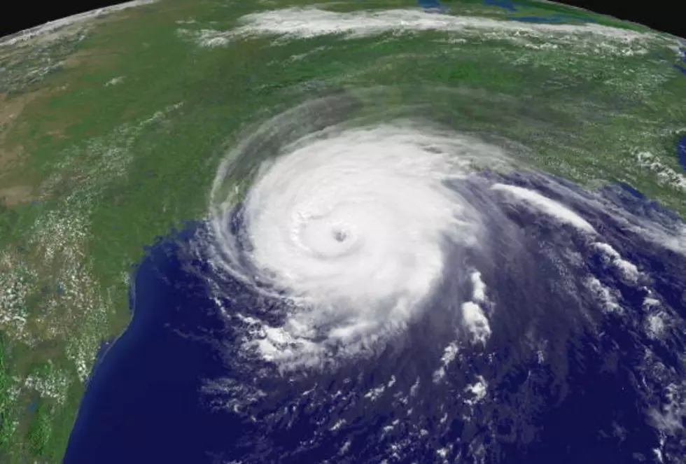
The National Weather Service says 60 to 80mph wind gusts are possible and there's a potential for up to baseball-sized hail. The threat for Tornadoes is low.
The N.W.S. warns of additional weather hazards with this storm:
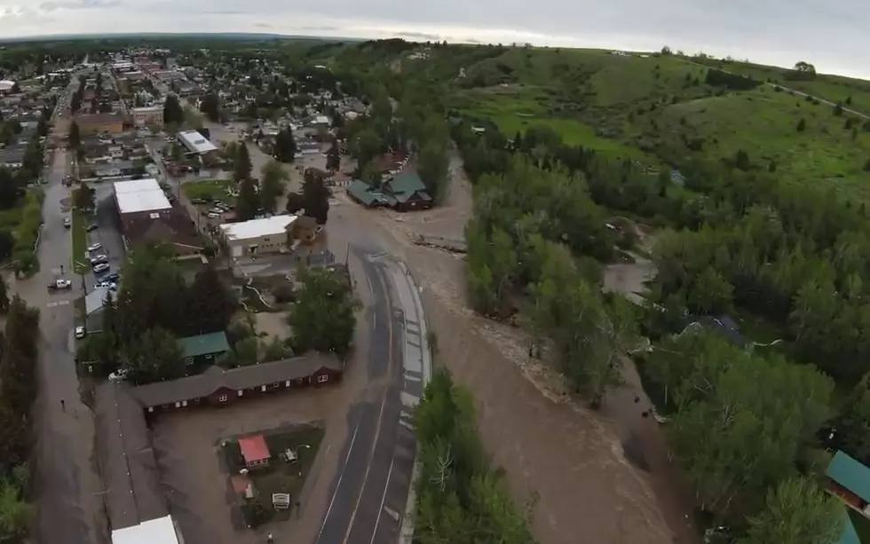
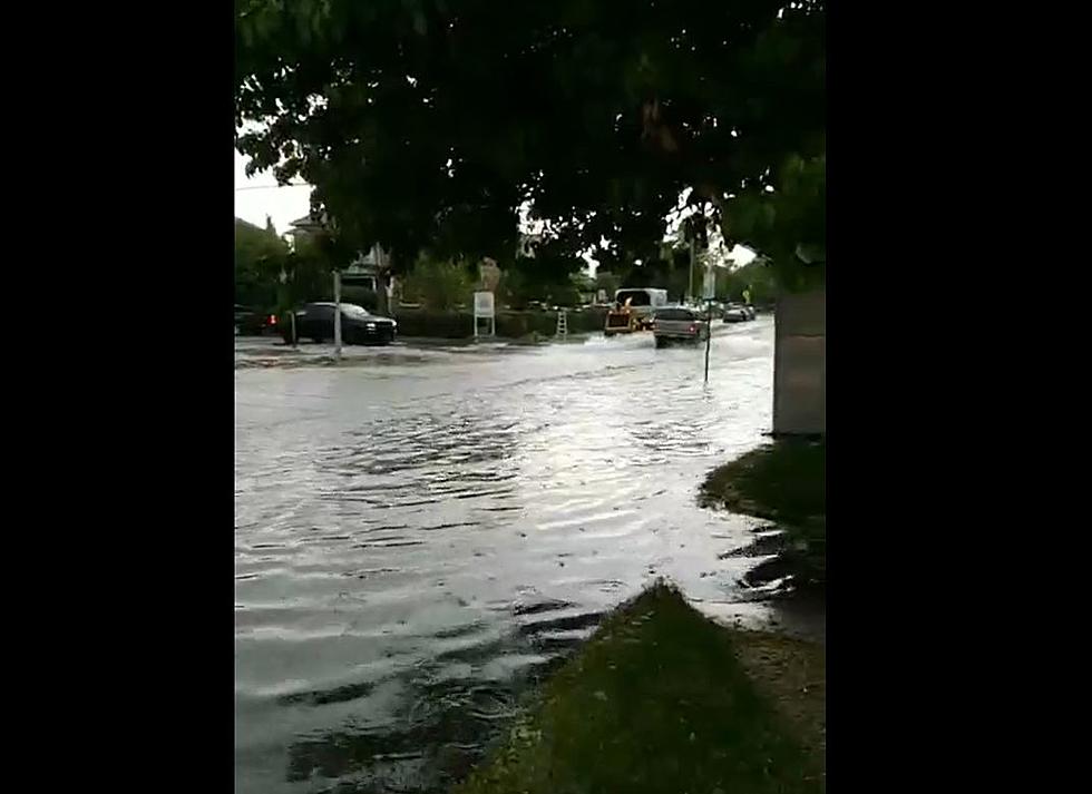
Rainfall inches of 2 to 3 inches an hour are possible over southeast Montana this afternoon and evening. This heavy rain could lead to localized flooding. Do not attempt to drive over a flooded roadway. -National Weather Service
A Severe Thunderstorm Watch is currently in effect until 7pm MDT on Sunday (8/11) for BEAVERHEAD, BROADWATER, FERGUS, GALLATIN, JEFFERSON, JUDITH BASIN, MADISON, MEAGHER, PARK, SWEET GRASS, and WHEATLAND County in Montana.
After this round of thunderstorms, the Billings forecast is dry through Thursday (8/15). High temperatures will be in the mid 80's to low 90's, according to Weather Channel.
More From KBUL NEWS TALK 970 AM & 103.3 FM